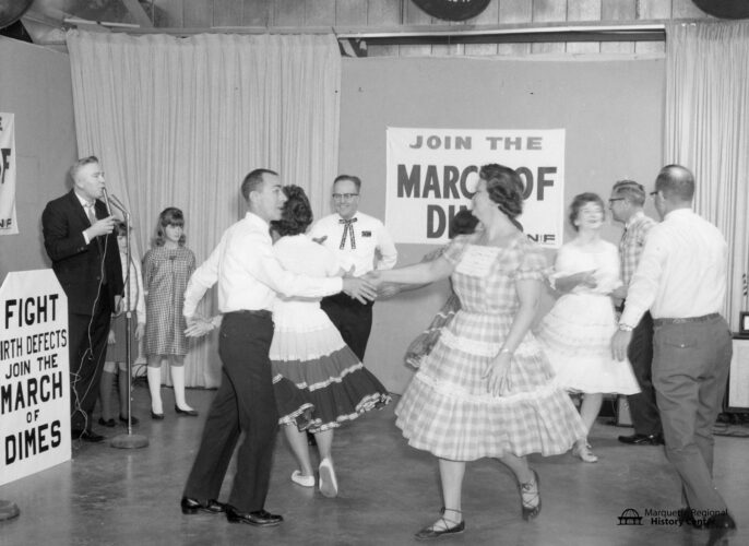
During the mid-20th century, the Upper Peninsula was home to many square dancing clubs- the Copper Hoppers (Keweenaw), the Keweenaw Kapers, the Blueberry Balancers (Champion), the North Star (Menominee), the Cottons ‘N’ Jeans (Iron Mountain), the Delta Merry-Mixers (Escanaba), the Swinging ...
Charles T. Harvey is best known as the builder of the Soo Locks at Sault Sainte Marie which opened in 1855. Harvey made numerous trips through the Upper Peninsula visiting the iron and copper mines and was interested in opening the territory as much as possible with blast furnaces and ...
Numismatics is the study of coins, metals, banknotes and the collection of them. The Flagstar Bank in downtown Marquette houses the vast collection of which well-known Marquette family?
A. Peter White
B. Kaufman
C. Wilkinson
D. Sedgwick
Answer: B, Kaufman
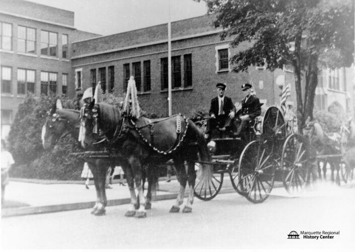
MARQUETTE — In the early 1870s, many residents of Ishpeming expected that the city would face a significant fire, just like other regional communities- Marquette (1868), Hancock (1869), Peshtigo (1871), Ontonagon (1871), and Michigamme (1873).
Community members worried about “the ...