April ice storm
Slushy conditions Friday may precede ice storm
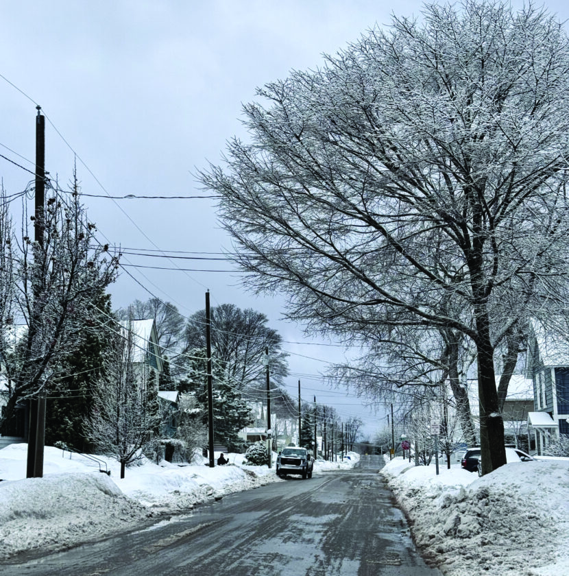
MARQUETTE — Spring has been taking its time showing up this year, and now another delay has arrived in the form of an ice storm.
The National Weather Service has called an ice storm warning for most of the Upper Peninsula, including Marquette County, from 11 p.m. Friday until 2 this afternoon.
“Significant icing expected,” said the National Weather Service warning. “Total snow and sleet accumulations up to one inch and ice accumulations between one tenth and four tenths of an inch. Winds gusting as high as 35 mph.”
The National Weather Service advises that travel is strongly discouraged.
“Power outages and tree damage are likely due to the ice,” said the National Weather Service warning. “Travel could be nearly impossible. The hazardous conditions will impact the Friday morning and evening commutes.”
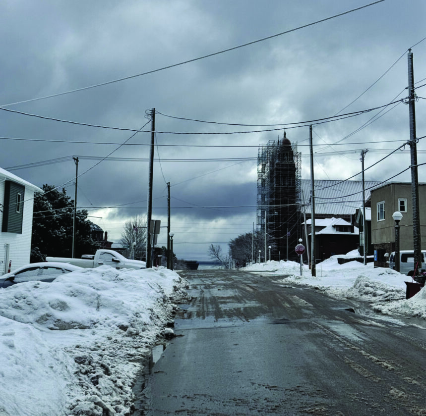
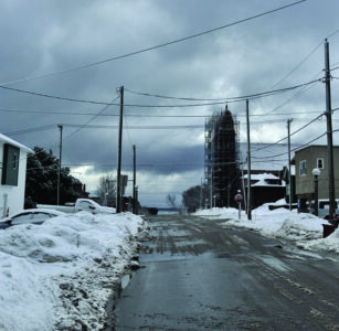
Roads were left slippery on Friday after Thursday’s sleet. (Journal photo by Annie Lippert)
National Weather Service meteorologist Ben Warren said that Friday night’s storm will be similar to what much of the UP saw Thursday. “Kind of a messy mix of winter precipitation is expected across much of the UP again,” said Warren.
“The one thing is, I think we are expecting a little bit more freezing rain accumulation across mostly the south-central U.P., mostly closer to like the U.P./Wisconsin state line. It is certainly possible we can get some decent freezing rain accumulation across much of the U.P., though. If those values do verify, we could have some good widespread impacts with power outages and potential tree damages.”
“it is possible we will see upwards of a quarter of an inch of ice to even half an inch of ice accumulation in northern Wisconsin.”
As usual, though, the storm’s effects will vary greatly depending on location, especially in regard to elevation and distance from the lakeshore.
“(Ice accumulation) is very dependent on temperature,” said Warren. “If we stay a degree or two near or just below freezing, that makes a difference in what you see at the surface. Nailing those temperatures across varied terrain and next to the lake shores up here is quite difficult.
“For example, up here at our office in Negaunee Township, we’re about 10 miles inland and a thousand feet off the lake. It is very, very possible that we could see a good accumulation; maybe a quarter of an inch of ice, whereas downtown in Marquette, where generally it’s pretty warm in the wintertime, closer to the open waters, I wouldn’t be surprised to see a dramatic decrease in freezing rain accumulation. Maybe a glaze of ice upwards to a tenth of an inch closer to the lakeshore there.”
“These freezing rain accumulation forecasts are tough to do,” said Warren. “This is easily the hardest winter phenomena to forecast. And so these (forecasts) can change pretty dramatically too. We’re urging people to keep an eye on the forecast for updates as things get closer to the event (Friday night) and then, as we progress through it, overnight into (this) morning.
“If we do see good freezing rain accumulation across here, power outages are possible, as is damage to trees. We can’t rule that out. If you do see any power outages, you know, we’re urging people to just stay home and stay warm.
Annie Lippert can be reached at 906-228-2500, ext. 550. Her email address is alippert@miningjournal.net.
Front Page News

The US lags other countries in social media restrictions for kids, but a reform push is growing
U.P. sees ‘The Ford Boom’ in the 1920s
America at 250: An age of innovation

A ‘berry’ good time

Suspects arraigned in animal abuse case