Weather
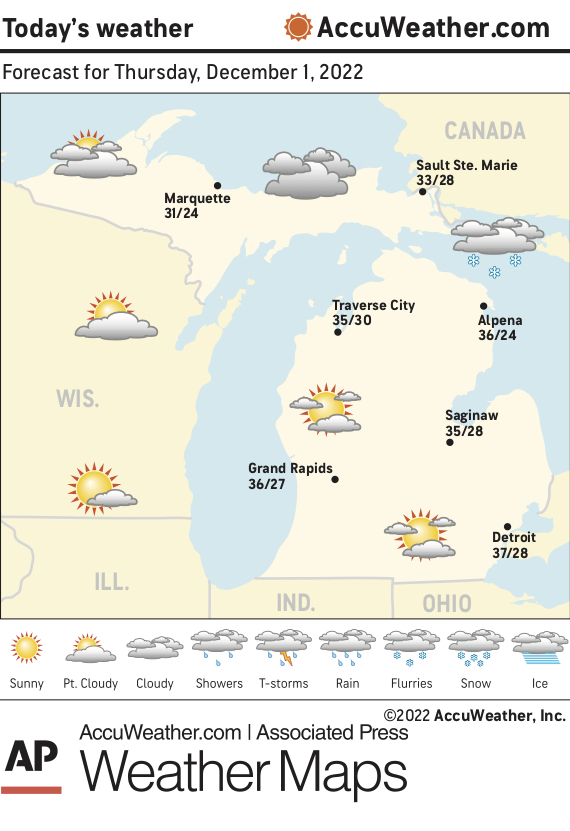
Marquette and vicinity: Today, partly cloudy. Highs around 29. West winds 5 to 10 mph, becoming south 5 to 15 mph in the afternoon. Tonight, mostly cloudy. Lows 20 to 25. South winds 10 to 15 mph with gusts up to 30 mph.
Extended forecast: Friday, warmer. Mostly cloudy. Highs 36 to 41. South winds 10 to 15 mph with gusts up to 30 mph. Friday night, a chance of rain and snow showers in the evening, then rain and snow showers after midnight. Cloudy. Lows 20 to 25. Chance of precipitation 90 percent. Saturday, breezy. Snow showers likely in the morning. Cloudy. Highs 29 to 34 inland to around 35 at the shore. Chance of snow 70 percent. Saturday night and Sunday, partly cloudy. Lows 9 to 14 above inland to around 16 at the shore. Highs 28 to 33 inland to around 34 at the shore. Sunday night, partly cloudy. Lows around 17 inland to around 23 at the shore.
Monday, mostly cloudy. Highs 28 to 33. Monday night and Tuesday, colder. Mostly cloudy with a 50 percent chance of snow showers. Lows 11 to 16 inland to around 18 at the shore. Highs 19 to 24 inland to around 25 at the shore.
Lake Superior: Today, west wind 15 to 25 knots backing south 10 to 20 knots in the afternoon. Mostly cloudy. Waves subsiding to 2 to 3 feet. Tonight, south wind 20 to 25 knots with gusts up to 33 knots. Mostly cloudy. Waves building to 2 to 4 feet.
Temperatures: The average temperature Wednesday at the National Weather Service office in Negaunee Township was 26 degrees, 1 degree above normal. The high Wednesday was 33 degrees and the overnight low was 19 degrees.
Precipitation: Wednesday, trace. Year to date, 40.12 inches. Normal to date, 34.08 inches.
Snowfall: Wednesday, trace. Season to date, 40.7 inches. Normal to date, 29.6 inches.
Sunset: 5:05 this evening.
Sunrise: 8:15 a.m. Friday.