
Prehistory of Presque Isle Park reviewed
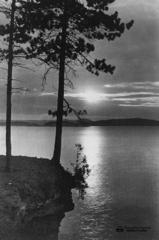
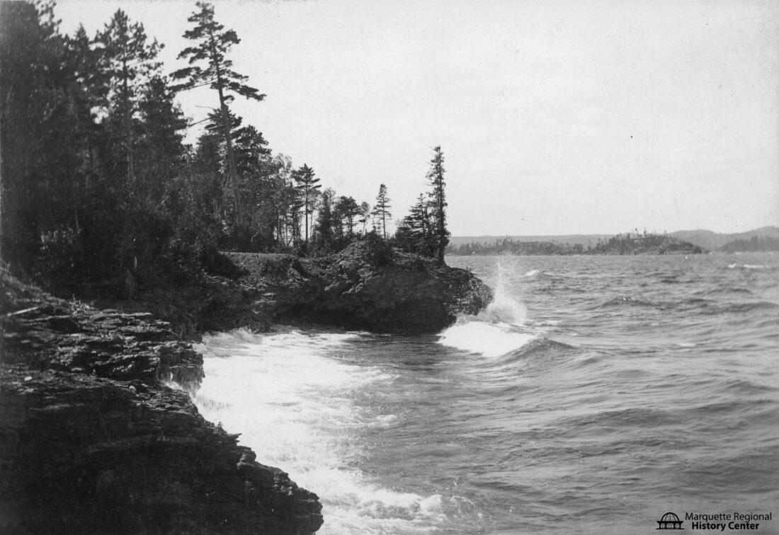
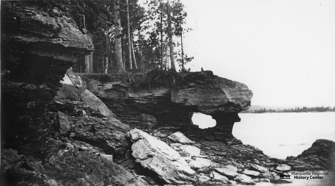
Here are three views of the rocks at Presque Isle Park in Marquette. (Photos courtesy of the Marquette Regional History Center)
Here are three views of the rocks at Presque Isle Park in Marquette. (Photos courtesy of the Marquette Regional History Center)
Trending
MARQUETTE -- The late Northern Michigan University geography professor Dr. John Anderton described Presque Isle as the "Jewel in the Crown" of Marquette.
The 323-acre park holds a special place in the hearts of many residents and visitors. Many locals know that the park was established in 1886, thanks to the efforts of Peter White, but the prehistory of the island goes much farther back to its formation long before any human discovery.
There are three major rock types found on the island. The oldest, Compeau Creek Gneiss, a metamorphic rock from the Precambrian Archean era, is about 2.5 billion years old. It is seen in surface outcrops in LaBonte Park near the mouth of the Dead River and in a group of small offshore islands known as the Presque Isle Point Rocks.
The Gneiss forms Sugarloaf and Hogback and is also thought to lie underneath the island's neck.
The northern two-thirds of the island is composed of "Black Rocks" or serpentized peridotite from the Precambrian Keweenawan era. This rock began as a volcanic plug about one billion years ago. The youngest type of rock is Jacobsville Sandstone which is found on the southern third of the park. The sand and gravel that comprise the rock were laid down approximately 570 million years ago.
The bedrock of Presque Isle has been glaciated many times over the last two million years. The final glaciation in the Lake Superior basin, known as the Marquette Advance, sculpted the rocks about 10,000 years ago, giving the park its fascinating topography. When the active glaciers surged forward and hit the island on the north side, the relatively resistant Compeau Creek Gneiss was rounded by glacial abrasion.
The Jacobsville Sandstone on the southern side of the island was protected from wearing away because it was "tucked behind" the Gneiss. As the glacier moved south, pockets of meltwater underneath would refreeze into cracks in the rocks and then pull or pluck the rocks out as the glacier continued moving. This action left behind a rough, jagged and step-like surface.
Marquette Advance ended when the ice retreated from the south shore of Lake Superior around 9,800 years ago, leaving Presque Isle's rock exposed. The changing topography caused significant shifts in lake levels, including the Houghton Low Phase when levels may have been up to 200 feet lower than today. At that time the island would have simply been one of the higher sections of a rocky headland.
The high point of the lake levels came during the Nipissing I phase, which began about 4,700 years ago. With water nearly 40 feet above the current level, Presque Isle was truly an island, two miles offshore. The Nipissing I shoreline can be seen today as a bluff along the west and south sides of the park, for example the rise that can be seen just north of the Anita Meyland Gazebo and the new Peg Hirvonen Bandshell.
During the Nipissing II phase, which began around 4,000 years ago, lake levels dropped slightly, allowing the formation of a large tombolo, an isthmus or neck that connects the island to the mainland. This is the feature that makes Presque Isle "almost an island" and provides its current accessibility to visitors.
There is evidence of human activity on Presque Isle from the Nipissing II phase, around 3,000 years ago. The most important and oldest archaeological site on the Island, named the Kawbawgam site, is a 1.5-acre prehistoric encampment or village. The site has yielded over 300 stone flakes, large amounts of fire-cracked rock and even some worked copper, including a copper spear point. A more recent pre-Columbian Native American site from the Woodland period has been found in the vicinity of the Black Rocks.
To learn more about the historic period on Presque Isle, join the Marquette Regional History Center for our Historic Marquette Bus Tours. Enjoy a tour through town on an air-conditioned Checker bus. Sit back and relax, meet a few entertaining historic characters, and learn from the tour guide along the route. Each summer the tours include something new, and delight locals and tourists as well. The 90-minute tour departs from and returns to the MRHC.
Tickets are $25 and are on sale now! Advanced purchase is recommended as space is limited and these tours sell out fast. For more information and ticket purchase visit marquettehistory.org
There are eight total tours in July and August; the 6 p.m. tours on Wednesdays: July 15, 22, 29 and Aug. 5 and the 1 p.m. tours on Tuesdays: July 21 and 28 and Aug. 4 and 11.
EDITOR’S NOTE: The Marquette Regional History Center expresses appreciation of the late NMU geography Dr. John Anderton for his extensive field research on the geology and prehistory of Presque Isle Park.