Marquette geology

MARQUETTE — The Upper Peninsula of Michigan has a complex geology that has left the region with a wealth of mineral resources. The earliest miners were Native Americans of the ‘Old Copper Culture.’ Dating from 7500-1000 BCE, the archaeological sites associated with this period are characterized by widespread copper artifacts including tools and weapons, as well as ornamental objects. Copper trade goods eventually made their way throughout North America including New England and the southeastern United States.
Early French explorer, Jacques Cartier, received copper tools as gifts during his exploration of the St. Lawrence River during the 1530s and 1540s. This led to numerous, mostly unsuccessful, attempts by explorers, voyageurs, and missionaries to locate the area’s mineral wealth during the 16th, 17th, and 18th centuries.
Douglas Houghton became Michigan’s first State Geologist in 1837. His report detailing the locations of minerals in the Lake Superior area, published in 1841, made the public aware of the region’s resource potential. Although he was not aware of the quantity of iron ore deposits in the area, Houghton did state that iron deposits were to be found on or near the south shore of the lake.
Then, in 1844, a party of surveyors led by William A. Burt found that their sensitive magnetic compasses produced skewed results because of the concentration of magnetic iron in the land they were surveying just south of Teal Lake in what is now Negaunee. Iron ore mining began only a few years later and has continued, without interruption, to the present day. This discovery was the primary impetus for the initial settlement of Marquette County by Euroamerican miners.
The Marquette Iron Range is the deposit’s popular and commercial name. The iron-bearing rock layer is known to geologists as the Negaunee Iron Formation. An iron range is an “elongate belt of layered sedimentary rocks in which one or more layers consist of banded iron-formation, a rock composed of alternating iron-rich and iron-poor layers on a scale of a few centimeters.”
Geologically, Michigan’s UP is split into two distinct regions along a roughly vertical line that travels through Marquette. The eastern half of the peninsula is primarily sedimentary rocks, such as shale, sandstone, and limestone, which form the northern edge of the Michigan Basin. In the western half of the UP, where the iron ranges are located, the rocks are mainly igneous and metamorphic rocks from the Precambrian era (up to 2.8 billion years old), which form the southern edge of the Canadian Shield, also known as the Laurentian Shield or the Laurentian Plateau.
The Canadian Shield covers an area of approximately 2,800,000 square miles in Canada, Greenland, and the United States. The southern terminus of the shield is exposed in the western Lake Superior basin and iron ore is found widely scattered throughout the region.
In addition to the Marquette Range, numerous other iron ranges were discovered in the northern parts of Michigan, Wisconsin, and Minnesota, including: Eastern Menominee Range, MI (1845); Gogebic Range, MI & WI (1848); Iron River/Western Menominee Range, MI (1851); Gwinn District of the Marquette Range (1869); Florence Range, WI (1873); Vermillion Range, MN (1875); Mesabi Range, MN (1890); and Cuyuna Range, MN (1903). Of these ranges, only the Marquette Range (1 active mine) and the Mesabi Range (7 active mines) are still mined.
The Marquette Iron Range, in geologic terms, is called the Marquette Syncline. A syncline is a trough or fold of stratified rock in which the younger layers are closer to the center of the structure (the inverse is an anticline). The Marquette Syncline is a belt of generally east-west trending down-folded rock units created during a period of continental collision and intense metamorphism.
The original formation of the iron bands took place on the floor of an ancient ocean from about 1.9 to 1.85 billion years ago as a complicated series of events including primary sedimentary deposition and diagenesis. Diagenesis is the process that describes physical and chemical changes in sediments first caused by water-rock interactions, microbial activity, and compaction after their deposition.
As early photosynthetic organisms began making oxygen, it reacted with the iron dissolved in seawater to precipitate out as iron oxide minerals on the ocean floor. Later, metamorphic processes redistributed and concentrated some of that iron in varying amounts within the folds of the syncline forming the high-grade ores that supported early mining. More modern mining, such as at the Tilden Mine, processes lower-grade ores using beneficiation which concentrates the iron minerals from the original iron formation.
The long period of banded iron deposition came to an end roughly 1.85 billion years ago, roughly the age of the impact of a giant meteor that struck near what is now Sudbury, Ontario, Canada, approximately 300 miles east of Marquette. Whether this impact caused the end of iron formation is a matter of current scientific debate. Since 2005, a rock layer which forms an outcropping near the McClure Basin in Negaunee Township has been on the radar of regional and international geologists. It is now confirmed to be the far-flung debris created by the Sudbury Impact.
Come hear the story of this incredible geological discovery from the principal investigator on this project, William Cannon, Geologist Emeritus of the U.S. Geological Survey along with local landowner at the basin, Bryon Ennis. The Marquette Regional History Center presents Mystery at McClure: Solved! on Wednesday, May 22 at 6:30 p.m. $5 suggested donation.
Superior History
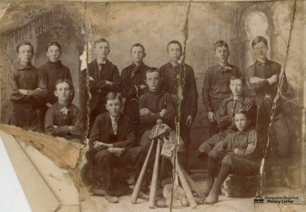
The U.P. cricket league
History quiz
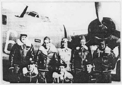
U.P. Moments in History
U.P. Moments in History
History quiz
QUESTION: During World War II, Munising Bowl Works shifted their operations to aid the war effort. What were they ...