Weather
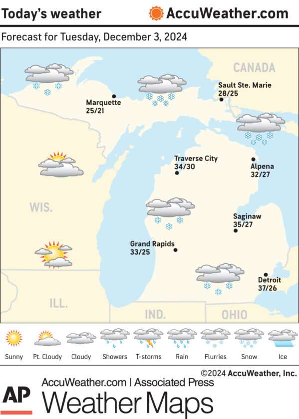
Marquette and vicinity: Today, a slight chance of snow showers before 10am, then a chance of snow showers after 11am. Cloudy, with a high near 28. West wind around 10 mph. Chance of precipitation is 30%. Tonight, snow showers, mainly before 3am. Low around 23. Southwest wind around 15 mph, with gusts as high as 25 mph. Chance of precipitation is 80%. New snow accumulation of 1 to 2 inches possible.
Extended forecast: Wednesday, snow showers after 7am. High near 32. Southwest wind 10 to 15 mph becoming northwest in the afternoon. Winds could gust as high as 25 mph. Chance of precipitation is 100%. New snow accumulation of around an inch possible. Wednesday night, snow showers. Patchy blowing snow after 9pm. Low around 16. Blustery, with a northwest wind 20 to 25 mph, with gusts as high as 40 mph. Chance of precipitation is 100%. Thursday, snow showers, mainly before 1pm. Patchy blowing snow before noon, then patchy blowing snow after 3pm. High near 26. Blustery. Chance of precipitation is 80%. Thursday night, a 40 percent chance of snow showers before 1am. Mostly cloudy, with a low around 15. Friday, partly sunny, with a high near 26. Friday night, snow showers likely, mainly before 1am. Mostly cloudy, with a low around 19. Saturday, a chance of snow showers. Mostly cloudy, with a high near 30. Saturday night, a chance of snow showers. Mostly cloudy, with a low around 21. Sunday, a chance of rain and snow showers. Mostly cloudy, with a high near 35. Sunday night, a chance of rain and snow showers. Mostly cloudy, with a low around 28. Monday, a chance of snow showers. Mostly cloudy, with a high near 35.
Snowfall: Monday, 4.5 inches. Year to date, 16.6 inches. Normal to date, 31.9 inches.
Sunset: 5:04 this evening.
Sunrise: 8:16 a.m. Wednesday.