Weather
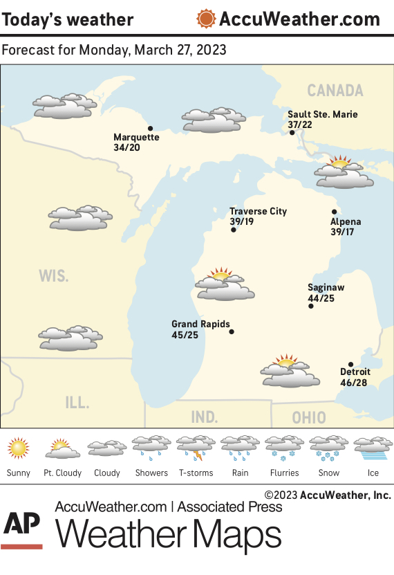
Marquette and vicinity: Today, a chance of flurries after 2 p.m. Patchy fog before 8 a.m. Areas of freezing fog before 7 a.m. Otherwise, partly sunny, with a high near 35. Northwest wind around 5 mph becoming north in the afternoon.Tonight, a chance of flurries with a slight chance of snow showers before 8 p.m, then a slight chance of snow showers between 8 p.m. and 2 a.m., then a chance of flurries after 2 a.m. Mostly cloudy, with a low around 19. Calm wind becoming southwest around 5 mph after midnight. Chance of precipitation is 20%.
Extended forecast:
Tuesday, a chance of flurries before 2 p.m., then a slight chance of snow showers after 2 p.m. Mostly cloudy, with a high near 33. West wind 5 to 10 mph. Chance of precipitation is 20%.
Tuesday night, a 50 percent chance of snow showers after 8 p.m. Mostly cloudy, with a low around 16.
Wednesday, partly sunny, with a high near 28.
Wednesday night, mostly clear, with a low around 12.
Thursday, mostly sunny, with a high near 38.
Thursday night, snow after 8 p.m., mixing with rain after 2 a.m. Mostly cloudy, with a low around 27.
Friday, rain and snow likely. Mostly cloudy, with a high near 39.
Friday night, a chance of snow. Mostly cloudy, with a low around 20. Blustery.
Saturday, partly sunny, with a high near 31. Blustery.
Lake Superior: Today, north wind less than 10 knots. Mostly cloudy. A chance of flurries in the morning. Waves 1 to 2 feet. Tonight, east wind less than 10 knots veering southwest after midnight. Mostly cloudy. A chance of flurries.
Temperatures: The average temperature Sunday at the National Weather Service office in Negaunee Township was 30 degrees, 2 degrees above normal. The high Sunday was 37 degrees and the overnight low was 23 degrees.
Precipitation: Sunday, none. Year to date, 10.25 inches. Normal to date, 6.78 inches.
Snowfall: Sunday, none. Season to date, 211.7 inches. Normal to date, 174.1 inches.
Sunset: 8:12 this evening.
Sunrise: 7:38 a.m. Tuesday