There’s a storm coming
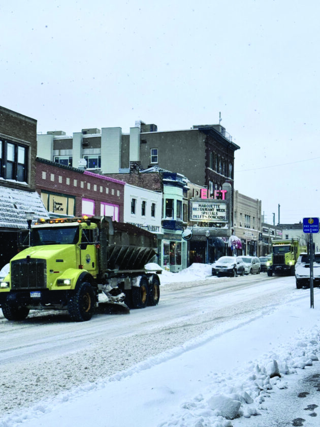
Snowplows travel down Washington Street on Friday. (Journal photo by Annie Lippert)
MARQUETTE — The entire Upper Peninsula was under a winter storm warning on Friday, but that was only a preview of what may be just around the corner.
“Right now, we’ve got this clipper system that is rolling over northern Wisconsin and over Lower Michigan and that brought us a swatch of snowfall overnight,” said National Weather Service meteorologist Daniel Jablonski on Friday morning. “Now, as we get to the backside, we’ll see a transition over to lake-effect showers with some stronger winds blowing snow, causing low visibility into this evening.”
What’s coming on Sunday and Monday, though, will knock yesterday’s storm out of the water.
“The stuff arriving Saturday night; we’ve got a pretty strong system tracking through the upper Great Lakes bringing heavy accumulating snow, strong winds and low visibility concerns to the entire U.P., with the core of heaviest snow at the eastern and central parts,” said Jablonski. “There is some variability on how much, but as of now, we’re looking at 1 to 2 feet with possibly some higher amounts closer towards Lake Michigan in the South-East.”
This storm might have some people remembering the several feet of snow which fell at the end of December, causing widespread downed trees and power outages. Sunday’s storm shouldn’t be quite that bad.
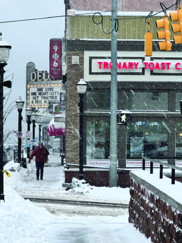
A pedestrian on Washington Street on Friday. (Journal photo by Annie Lippert)
“That storm started out with some wet, stickier snow which clung well to trees and power lines,” said Jablonski. “With high wind that resulted in heavy damage and lots of outages. We’re not quite expecting that level of wet snow (on Sunday), so that in a way would help, but we are still seeing strong northerly winds that will cause the same low visibility, especially along the lakeshores.”
Jablonski said that the low visibility combined with snow on the road means that “Travel impacts are going to be pretty significant.
“Power outages are definitely possible, and travel will be very difficult, so make sure you have the things you need at home to make sure you can stay off the roads and stay indoors,” he said. “With blowing snow it’s going to be a challenge to keep roads clear on top of the heavy snowfall.”
In the Marquette area on Friday, the National Weather Service called for “Additional snow accumulations between 3 and 9 inches, greatest in areas of high terrain, least south. Winds gusting as high as 40 mph.”
For Sunday and Monday, the winter storm watch reads “Total snow accumulations between 1 and 3 feet possible. Winds could gust as high as 55 mph along the Lake Superior shores.”
-

- Snowplows travel down Washington Street on Friday. (Journal photo by Annie Lippert)
-

- A pedestrian on Washington Street on Friday. (Journal photo by Annie Lippert)
-

- Snowplows travel up North Front Street on Friday. (Journal photo by Annie Lippert)
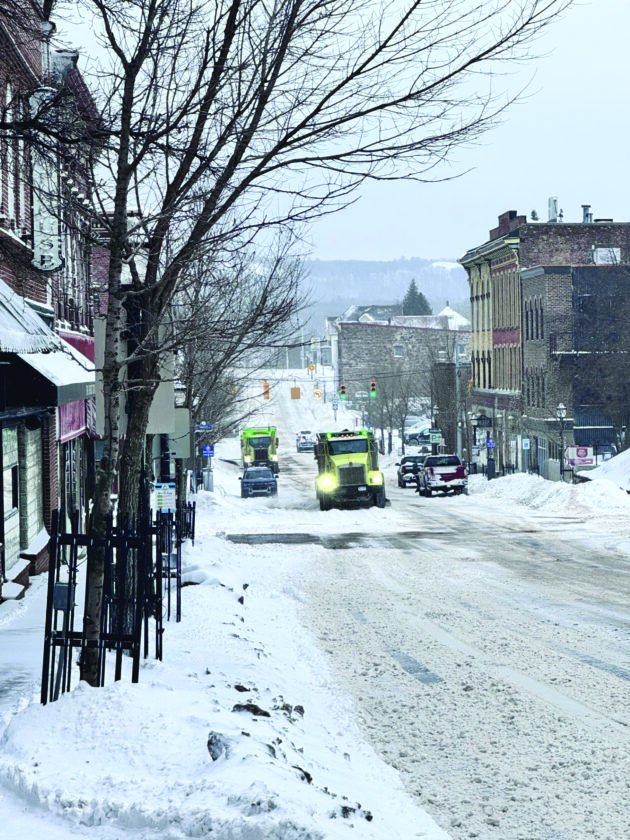
Snowplows travel up North Front Street on Friday. (Journal photo by Annie Lippert)
“If you must travel, keep an extra flashlight, food, and water in your vehicle in case of an emergency. Prepare for possible power outages,” advises the National Weather Service.
Annie Lippert can be reached at 906-228-2500, ext. 550. Her email address is alippert@miningjournal.net.
Front Page News
There’s a storm coming

Why Michigan’s rural schools wrestle with funding, staffing challenges

Northern Michigan University police officer wins Marquette County Law Enforcement Officer of the Year
Naloxone available at 2 new community locations
MARQUETTE — In addition to having Naloxone available at the Marquette County Health Department lobby, the ...

Sheriff Zyburt endorses Callie Barr