Trail marker trees in Forsyth

Trail marker tree photo courtesy of Bill Van Kosky.
GWINN — In April 2021, the Marquette Regional History Center began a project to locate, measure and photograph trail marker trees in Marquette County. These are trees that were bent as saplings by Native Americans, to point out trails in their forested domain. All the woodland tribes knew how to shape these markers, and continued to use them until prospectors, settlers and other immigrants disrupted the native way of life.
In Marquette County, the last authentic trail markers would have been shaped at least 150 years ago. A few very old, very large ones among them, are approaching or have already exceeded their life expectancy of approximately 300 years. It is important to photograph and measure these before their inevitable decay and collapse.
Thanks to the many helpful folks who have called the History Center to give information about possible trail markers in the county, we have identified ten that have the characteristics of authentic trail markers. Many other look-almost-likes were evaluated, photographed, and measured, but were judged to have been formed by natural forces rather than by human hands.
During December 2021, WNMU-TV videotaped a brief interview that showed and described trail marker trees and explained the History Center’s interest in them. This snippet was shown several times during the month, as a filler between regularly scheduled programs. Afterward, a viewer called the History Center to say that he and a friend knew the location of four bent trees that they believed might be trail markers.
The caller and his friend choose to remain anonymous, preferring to be known simply as “two Yoopers.” When we met a few days later I learned that both were observant woodsmen who had roamed the forests of Forsyth Township for many decades. They knew that a few bent trees they had seen were something very unusual but didn’t realize that they might be trail markers until they saw our publicity.
We passed through gates on two properties and drove several miles on two-rut roads, stopping eventually at an old hunting camp. Two trail marker candidates were within a hundred yards of the camp. One of these was an often-seen example of nature’s work.
When the tree was several inches in diameter it had been partially uprooted by wind or having a large tree fall against it. As it continued to grow, at angle of about 20 degrees above the horizontal, the top turned upward toward the sun. Now, many years later, the mature tree resembles the letter “L.” Although not a trail marker, I learned that this tree nevertheless served a useful purpose: kids visiting the camp invariably ran to, and sat astride of, the “horse.”
The other crooked tree near the camp has all the earmarks of a classic trail marker. It is a large, old sugar maple with the distinctive double bend. Diameter of the horizontal section is an impressive 28 inches.
After I measured and photographed this tree, the Yoopers told me that there was “another one just down the road.” This proved to be literally true. We were in the pickup truck for only a couple of minutes before stopping and fanning out to find the next marker tree candidate. It took a while, because bushy conifers shielded the tree from view on two sides, but a shout, “There she is!” from one of the Yoopers, ended our search.
This old sugar maple tree has the familiar double bend, but with an additional, less common feature as well: two upright trunks.
Reference books show many examples of double-trunk trail markers, but this is the first intact example we’ve seen in Marquette County. The trail marker on the Reader farm in Chocolay Township originally had two upright trunks but lost one of them during a windstorm about 20 years ago.
It is believed that two-trunk trail markers had special significance to Native Americans of past centuries in addition to their primary function as directional pointers, but that meaning has been lost over time.
The fact that this tree and the one at the camp were in such close proximity, raised an interesting possibility. Might these two markers be on the same trail? I had already taken a compass reading, to record which direction the tree was pointing. It happened to be southeast. When I asked, “Which way is the camp from here?” both Yoopers immediately pointed southeast.
This was encouraging, but more proof was needed to determine if the two-trunk tree was actually pointing toward the camp tree. A few weeks later, the Yoopers returned to the forest to take geographic positioning system (GPS) readings at both trees. Plotting the results on a map confirmed that the two-trunk tree was, indeed, pointing in the direction of the camp tree. Two in a row! Another Marquette County first.
The map plot also showed that the two trees were a little less than a quarter mile apart. The camp tree points east, indicating that the trail changed direction there.
The two Yoopers are planning to scour the woods to the east later this year, hoping to find a third marker tree on the trail.
The odds are high that this quest is unlikely to succeed, but so were the chances of finding two markers in a row. The existence of a third tree must be confirmed or disproven, and that is what they intend to do.
Adding the double-trunk and camp trees to our tally brings the Marquette County trail marker tree count to twelve, and the search goes on.
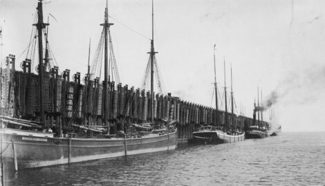
Superior History
History quiz
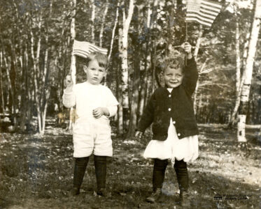
The spirit of ‘76
U.P. Moments in History
History quiz
QUESTION: Which person did not serve as a lighthouse keeper in Marquette? a. Amos Harlow b. Samuel Barney c. ...
Presque Isle Bandshell: A look back