
Breaking News

History Quiz

Some of the earliest maps of Lake Superior included four islands described by Pierre de Charlevoix that were later found to be fictitious. Which of these was NOT the name of one of those ghost islands? a. I. Pontchartrain b. I. des Pins c. I. St. Anne d. I. Philippeaux Answer: b. The ...
Mapping Michigan: Surveying changes over the generations

Land surveying, the practice of measuring and delineating boundaries, dates back to the beginning of recorded history. Starting with rudimentary tools, including knotted ropes and plumb bobs, the ancient Egyptians would resurvey land boundaries following the Nile River’s annual ...

Indigenous farming thrived well before white settlers

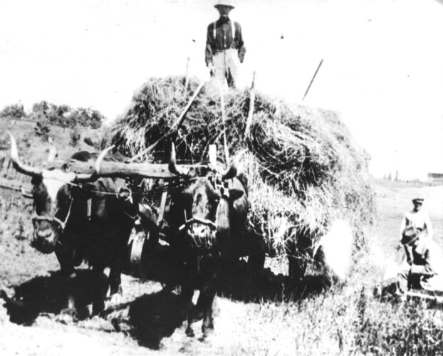
Recent archaeological studies along the Michigan-Wisconsin border have uncovered what is being called “likely the largest intact remains of an ancient Native American agricultural site in the eastern half of the United States.” First mapped in the 1990s by NMU professor emerita Marla ...

U.P. Moments in History

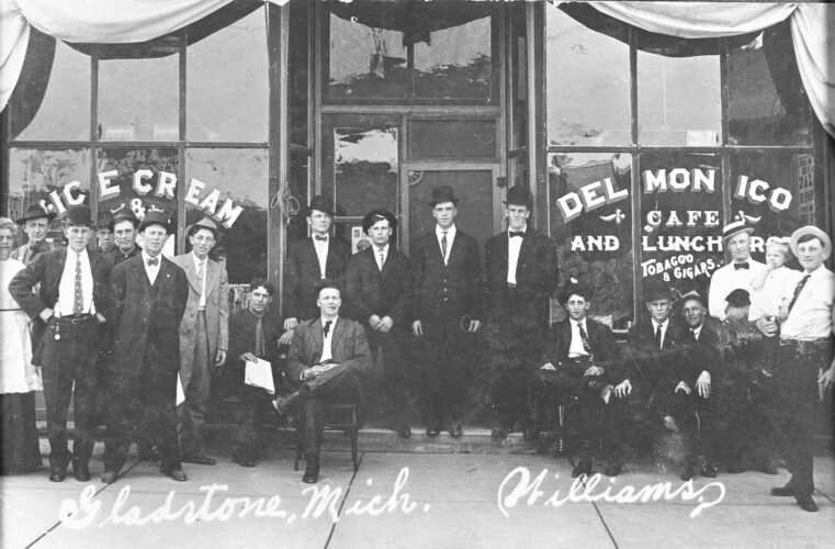
The Delmonico Cafe in Gladstone, circa 1915. (Photo courtesy of Superior View Photography, www.viewsofthepast.com)

Fisticuffs, free-for-alls and Frenchy

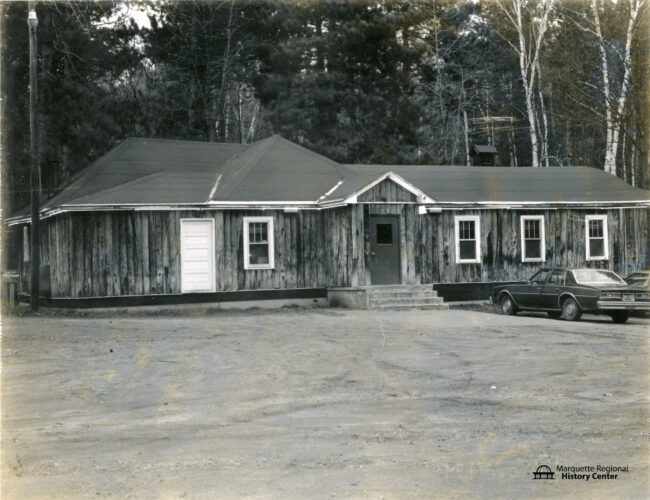
A few miles up County Road 550 from the Marquette city limits sat a drinking establishment that sparks fond memories from several generations of Marquette County residents... Snuffy’s The bar opened in the mid-20th century as “The Forest Cabin,” a rustic establishment that was planned ...

History quiz

The current map exhibit at the Marquette Regional History Center has a 1881 map of Republic that is a beautiful blue color.  What’s that type of map called?
 A. A bluebird view map B. An ultramarine C. A Smurfscan D. A cyanotype ANSWER: D. Cyanotypes came to be used later ...